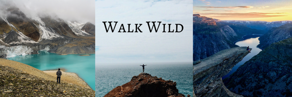
A Travel Guide for Walking or Biking the River Wey Canal Path
4 Minute Read
This travel guide provides information on how to walk or cycle along the River Wey Navigation Path.
The guide includes:
- What is it?
- Where Does it Start and Finish?
- How Long Does it Take?
- What is There to See?
- How to Get There?
See also:
How to Walk The Saturn Trail in Surrey
Top 4 Best Surrey Hills Walks
1. What is it?
The River Wey is a tributary of the River Thames with the main section between Weybridge and Godalming being located in Surrey, UK.
It is a serene and peaceful river that passes through some classic English countryside and has an amazing 300 year old history of barge transport and canal infrastructure.
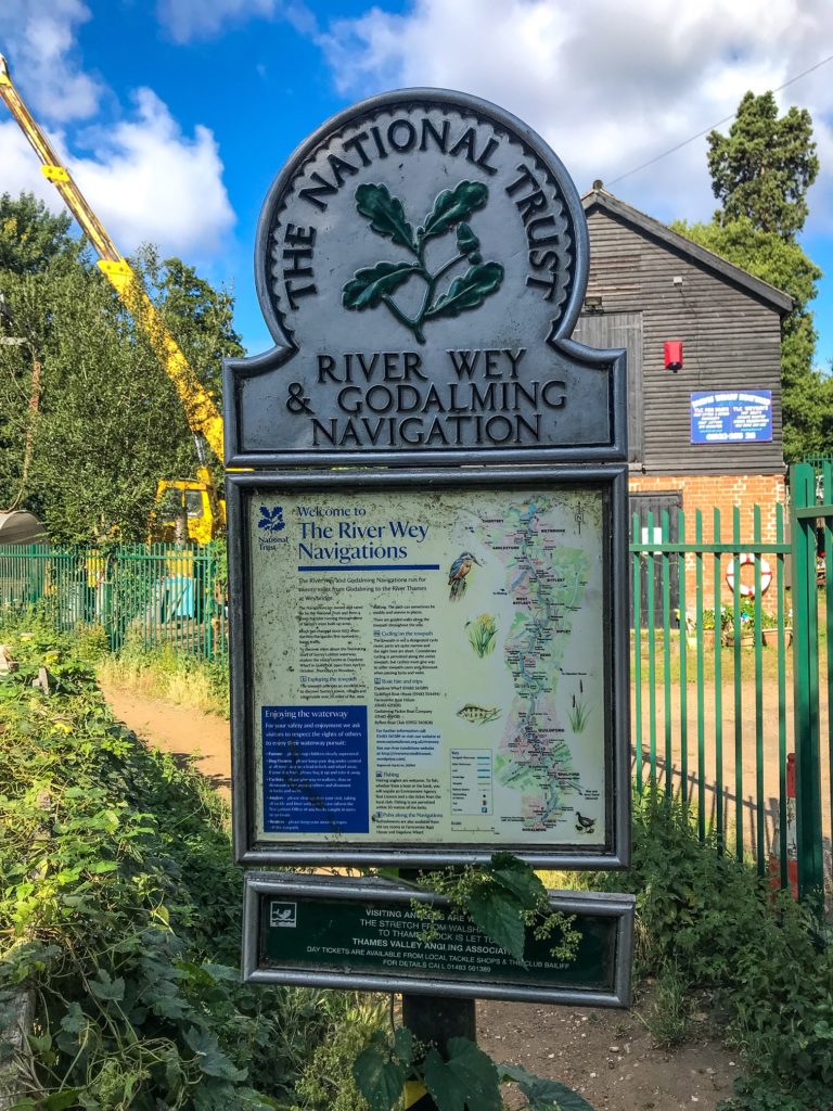
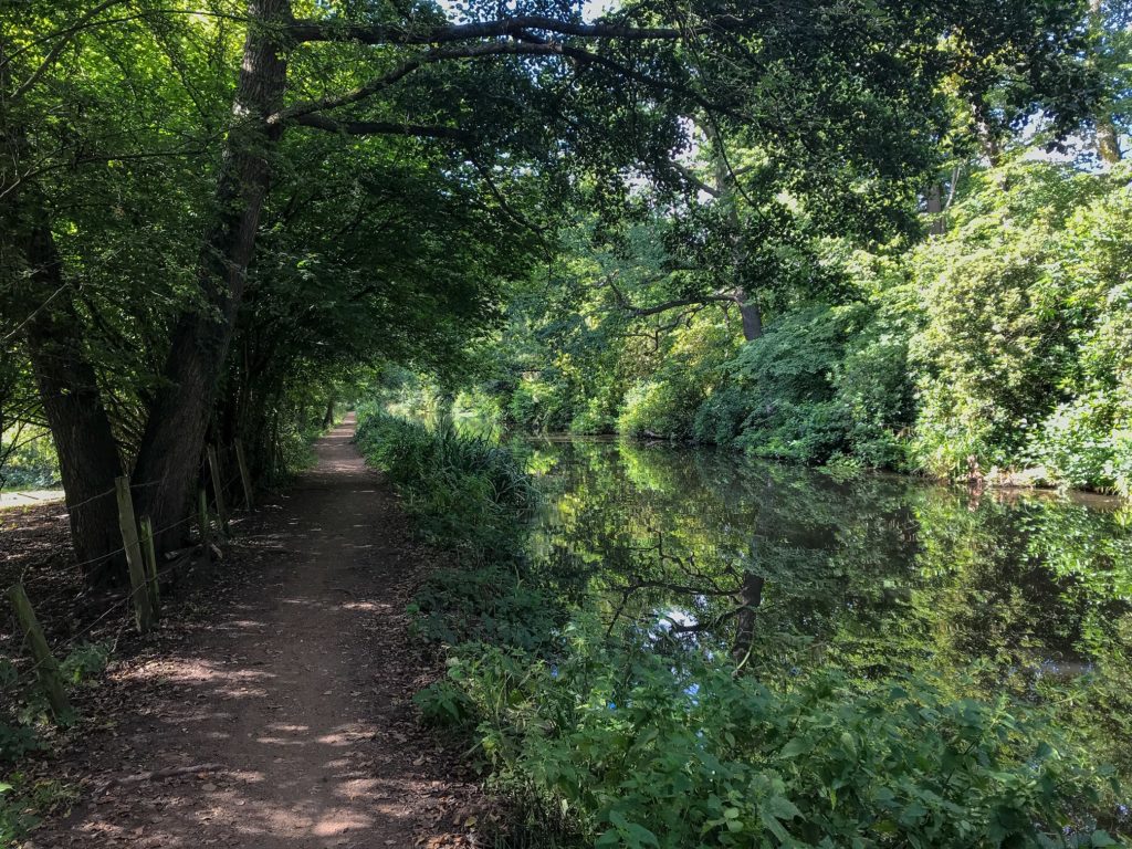
There is a well maintained and signposted National Trust towpath that runs the length of the route. The path is relatively flat and good for all ages and fitness levels.
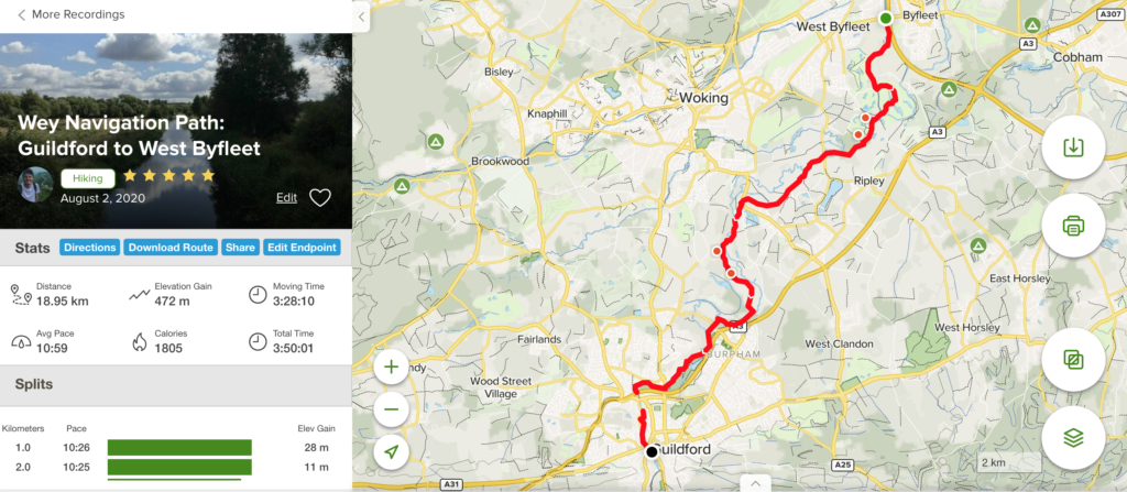
The most common route is a 19km walk along the canal and towpath between Guildford and West Byfleet.
2. Where Does it Start and Finish?
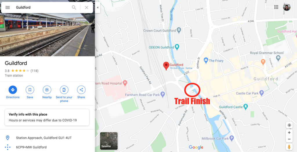
The walk I recommend begins in West Byfleet and follows a path south towards Guildford. Although this is only a segment of the walk, at 19km it is still long and in my opinion takes in the best sections of the river. The trail starts and finishes at bridge crossings.
3. How Long Does it Take?
The route took me just under 4 hours to complete, but I walked relatively fast and with only a few breaks.
I would suggest giving yourself at least 4 and a half hours, to amble this beautiful river path, to enjoy the countryside, and to stop for some water and snack breaks.
Alternatively you can bike the route in 45 minutes to an hour.
There are a number of pubs on the River Wey which you will walk past. It could be a good idea to stop in for a drink or some lunch if you are walking the route on a sunny weekend!
I decided to wait until I reached the end of the route in Guildford before getting lunch as that meant there was a reward to look forward to!
4. What is There to See?
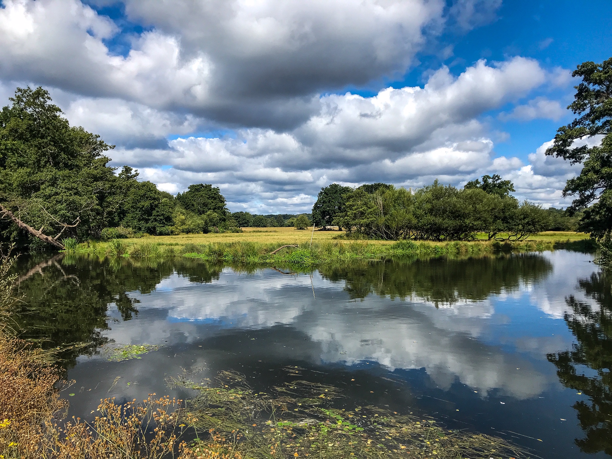
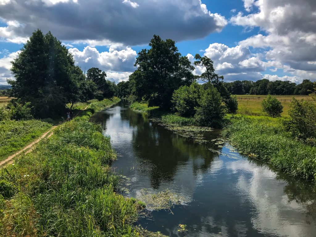
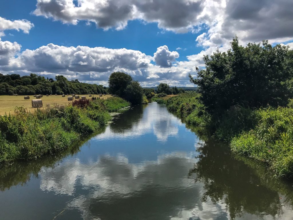
The river flows slow and steady with clear water in many parts. There are sweeping reeds and overhanging trees to shelter the path. Golden yellow fields stretch away from the river in all directions.
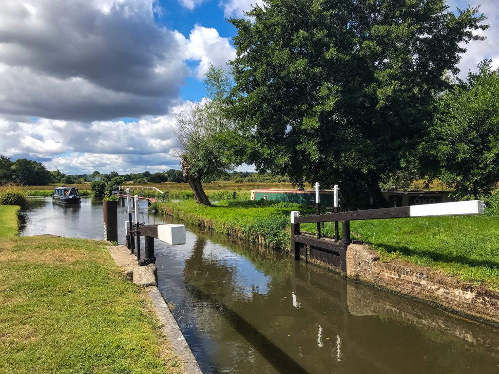
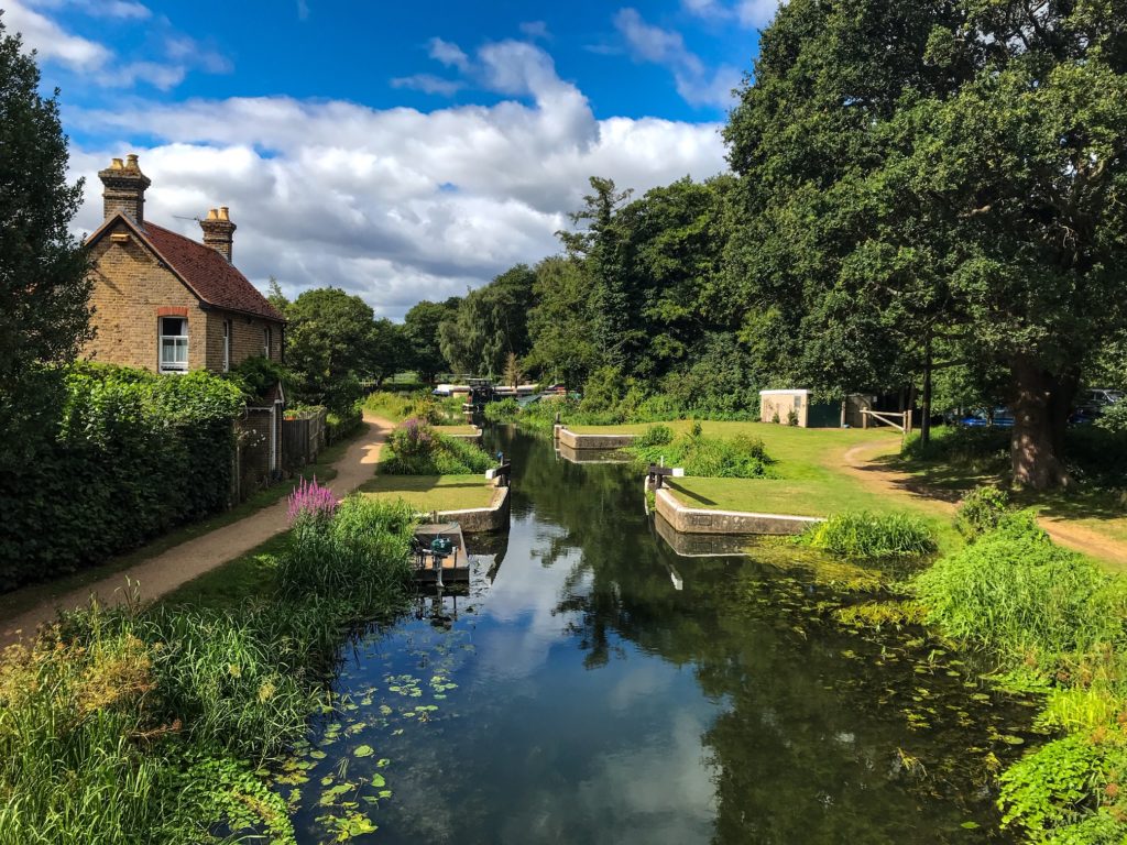
You pass through a number of locks where you might see a docking houseboat, not to mention weirs and old weir-houses. You will cross over and under numerous bridges, all the while following the gentle flow of the river.
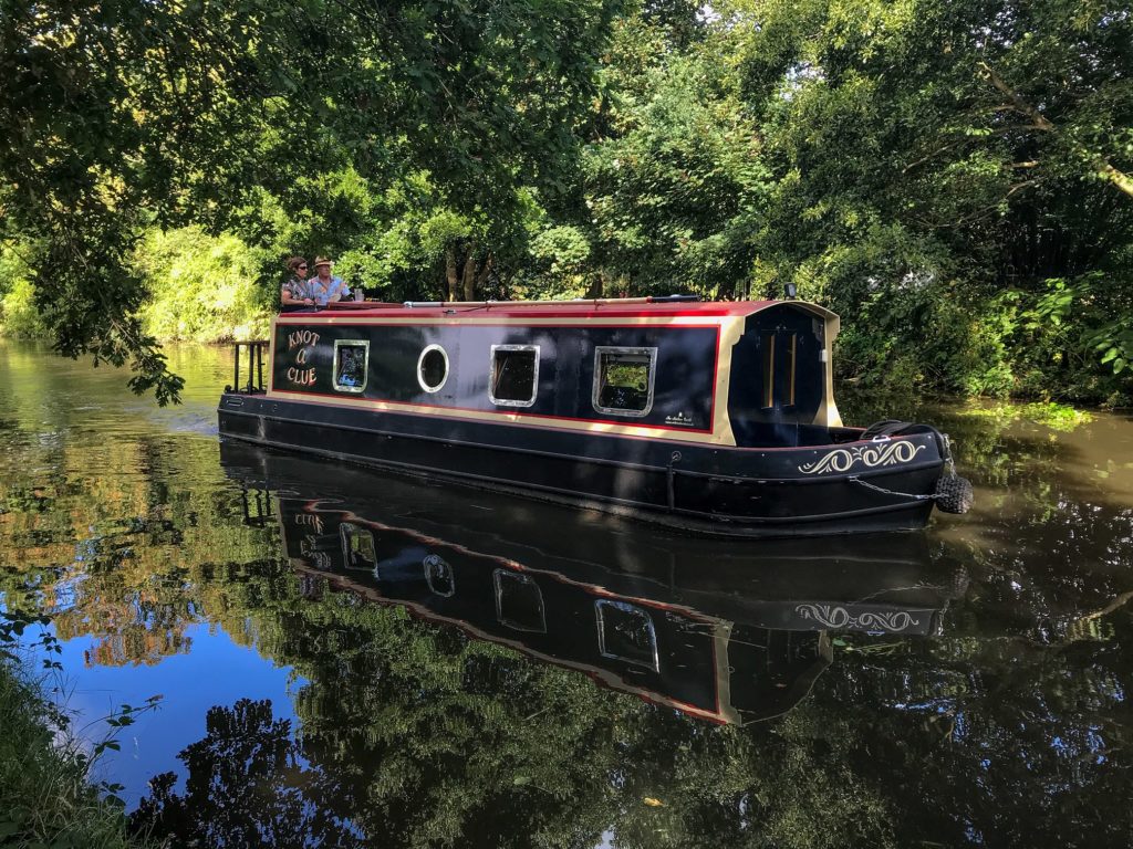
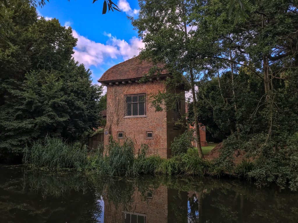
Look out for the crumbling stone walls of the Newark Priory and the red-brick of John Donne’s Elizabethan Summerhouse. If you are interested in houseboats, the path runs past two marinas for you to admire a great number of the moored boats.
Take it at your own pace, admiring the water for darting fish, drifting house boats, and an array of birds nesting and singing from the undergrowth. Rest under the shade of passing trees and watch the livestock grazing in the fields or a tractor trundling through furrows in the distance.
5. How to Get There?
As it’s a point to point trail, it lacks the luxury of a circular route where you can drive to the starting point and leave from the same place you began. You will need to sort out transport to the start and finish point of the River Wey Navigation Path.
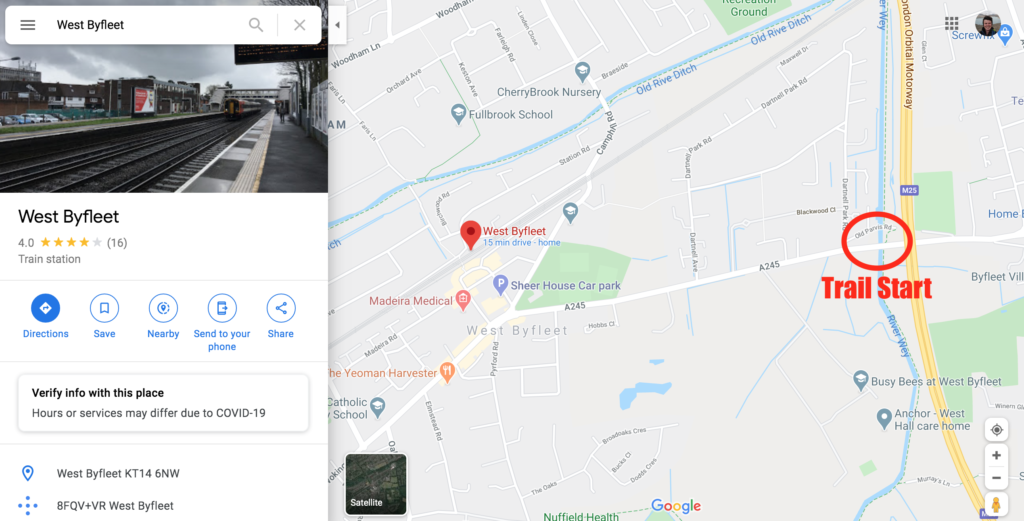
Luckily both are situated close to railway stations: West Byfleet (start) and Guildford (finish) both operate National Rail trains and are on the same line. So you could take the train to West Byfleet, walk the trail, then take the train home from Guildford.
If you’re lucky you can ask someone to drop you off at the start and pick you up four and a half hours later at the end (this is what I did, thanks to my dad who met me for lunch in Guildford as a compromise)! Or, you could do a combination and park your car at West Byfleet then walk the trail and take the train or a taxi back to your car again.
Before You Go
Thanks for reading my travel guide on how to hike the River Wey. If travel guides like this interest you, head over to my blog page to find out more!
If you are new to Walk Wild you can check out the About Me page to learn about who I am and what made me want to be a travel writer.
Please comment below, let me know what you think and follow me on Twitter and Instagram to find out more.